Latest News & Events
Bargarh Municipal Council
Housing and Urban Development Department, Odisha
“ଆମେ ବରଗଡ଼ିଆ, ସବୁଠୁ ବଢ଼ିଆ”
.
Tender Hub
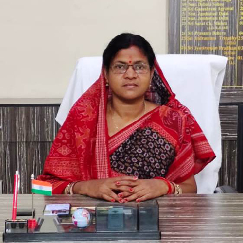
Smt. Kalpana Majhi
Chairperson

Shri Debananda Sahu, ORS
Executive Officer


Welcome to Bargarh Muncipality
This Municipality was declared as such vide defunct local self govt notification no. 5117/LSG dt. 28.08.1951 and started its functioning w.e.f 01.05.1952. At present the area of the Bargarh Municipality is 16.72 sq. K.M having population 80440 as per 2011 census out of which 41359 male & 39081 female.
The four sides boundaries of Bargarh Municipality is as follows:
1. North : Village Dang, Khaliapali & Padhanpali
2. South : Village Ruhunia
3. East : Village Tora
4. West : Village Haldipali, Sountpur & Dumerpali
The Municipality office is functioning in its new own building situated at the side of N.H. 06 w.e.f 01.05.2004
Brief info of Bargarh Municipality
Total geographical Area: 16.72 sq.KM
Total Population: 80440 (According to 2011 Census)
Total No of Word: 19
Slum No: 82
Slum Population: 33479
Total City Househad: 10856
Slum Househad: 6481
About Bargarh District
Bargarh District formed on the 1st April 1993 being devided from Sambalpur District. It is one of the illustrious District of Odisha. Bargarh District lies on the western most corner of Odisha between 20 degree 43' to 21 degree 41' north latitude and 82 degree 39' to 83 degree 58' east longitude. The District is surrounded by Chhatisgarh state on the north, Sambalpur District on the east, Balangir and Subarnapur on the south and Nuapada District on the west.


Important Links
Form Downloads
Weather Report
N.B: Website best view in Mozila firefox Version 24 & above and in Googe chrome Version 20 & above with 768 x 1024 Resolution.